
STRATUS: The base of these clouds can occur anywhere from almost ground level to about 5000 feet. They are rather dark and often have many layers with broken patches called fracto-stratus. It is quite thin and will really only produce a drizzle.
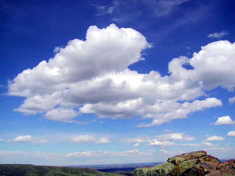
CUMULUS: These clouds often extend vertically quite high. The base can be anywhere from 1600 to 35000 feet. They are thick bubbling clouds with flat bases. Often blue sky surrounds them. They will not produce precipitation.
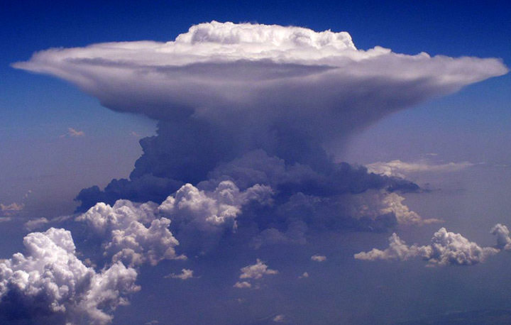 CUMULONIMBUS: These occur at the same heights and with the same vertical growth as the cumulus clouds. These are towering thunderheads that bubble up through the troposphere. Due to the fact that they reach freezing altitudes they often become “crowned” with a giant feathering anvil top of ice crystals. They will produce heavy rain, thunder and lightning.
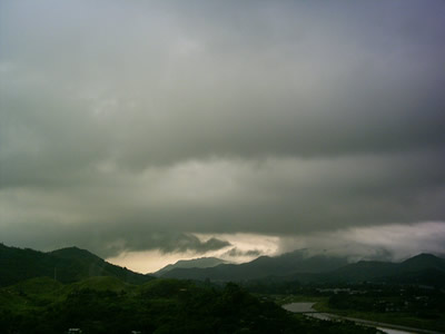
NIMBO STRATUS: These type of clouds occur close to the surface of the Earth. It is often thick, enough so that ice crystals can form but it will not produce precipitation.
 CIRRUS: These clouds are formed at above 20000 feet and because of the low temperatures are formed completely out of ice crystals. They are thin, feather like wisps, often streaming with the wind. They will not produce precipitation.
 ALTO: These clouds range from 6500-20000 feet and are composed of water droplets. They can either be large puffs like cotton, rounded in appearance and appearing in bands like the alto-cumulus. Or they can be a thin layer of cloud, that is grayish blue as in alto stratus. They do not produce much precipitation.
No comments:
Post a Comment